
Products / GIS & spatial analysis
Geospatial intelligence
See the landscape. Understand the opportunity.
We combine satellite imagery, spatial datasets and field information to support eligibility assessment, project design, carbon estimation and ongoing monitoring.
Discuss your projectIdentify eligible landUnderstand risks and constraintsMonitor landscape change
Geospatial expertise
Geospatial analysis for high-integrity carbon projects
From landscape understanding to robust, decision-ready outputs
Each stage turns spatial data into traceable evidence for project design, carbon accounting, monitoring and independent review.
Hover over or tap a title or map to learn more.
Scroll across to explore all eight stages →
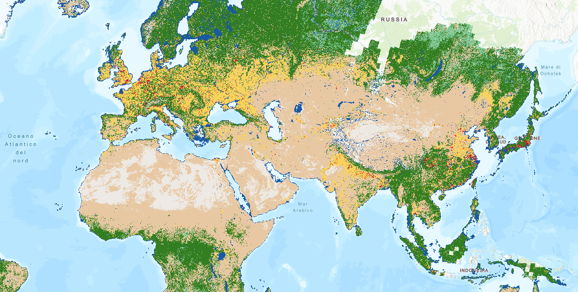
1 Understand past change
2 Understand the landscape
3 Manage constraints
4 Identify eligible areas
5 Build credible baselines
6 Monitor change over time
7 Support field sampling
8 Deliver defensible outputs
Spatial evidence for better decisions
People — Nature — Data — Impact
Illustrative SilviCarbon analyses show how the workflow moves from landscape history to quality-controlled spatial evidence.
Success story · SCALA 2
GIS & Remote Sensing in Action
Detecting invasive Kudzu from space
A real example of SilviCarbon’s tailor-made geospatial work for the SCALA 2 project in Laos. The pilot combined Sentinel-2 imagery, spectral analysis, vegetation indices and GIS classification to identify and map areas potentially affected by invasive Kudzu.
What is Kudzu?
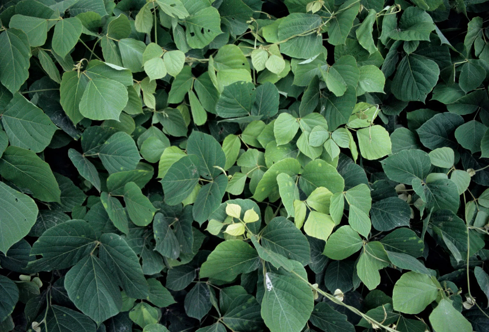
Kudzu (Pueraria montana) is a vigorous climbing vine that grows over trees and other vegetation, blocking sunlight and competing for resources. It can form large, dense monocultures that reduce biodiversity, aboveground carbon stocks and ecosystem function.
Why is it a challenge in Laos?
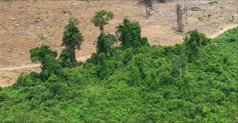
Repeated clearing, burning and shortened fallow cycles create open, disturbed landscapes where vines can establish rapidly. Kudzu’s dense green canopy can then resemble healthy forest in satellite imagery, masking degradation and complicating reliable carbon and restoration assessments.
01
Spectral analysis
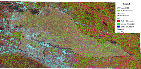
We apply Linear Spectral Unmixing and NDVI analysis to identify Kudzu spectral patterns and estimate its abundance within mixed pixels.
02
Targeted mapping
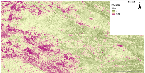
We analyse vegetation, soil and landscape indices, define thresholds and generate a spatial mask of potential Kudzu presence.
03
Validation and QA/QC
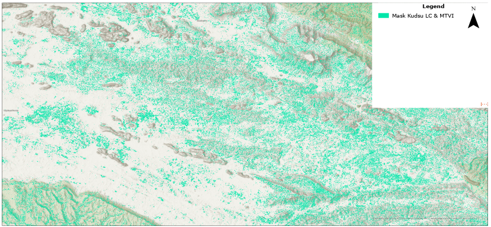
We test the Kudzu mask against reference imagery and field data, assess accuracy and refine the classification before use in project decisions.
Identify spectral patterns
Map potential Kudzu presence
Validate and refine results
From satellite observations to validated spatial evidence for project decisions.
Final product
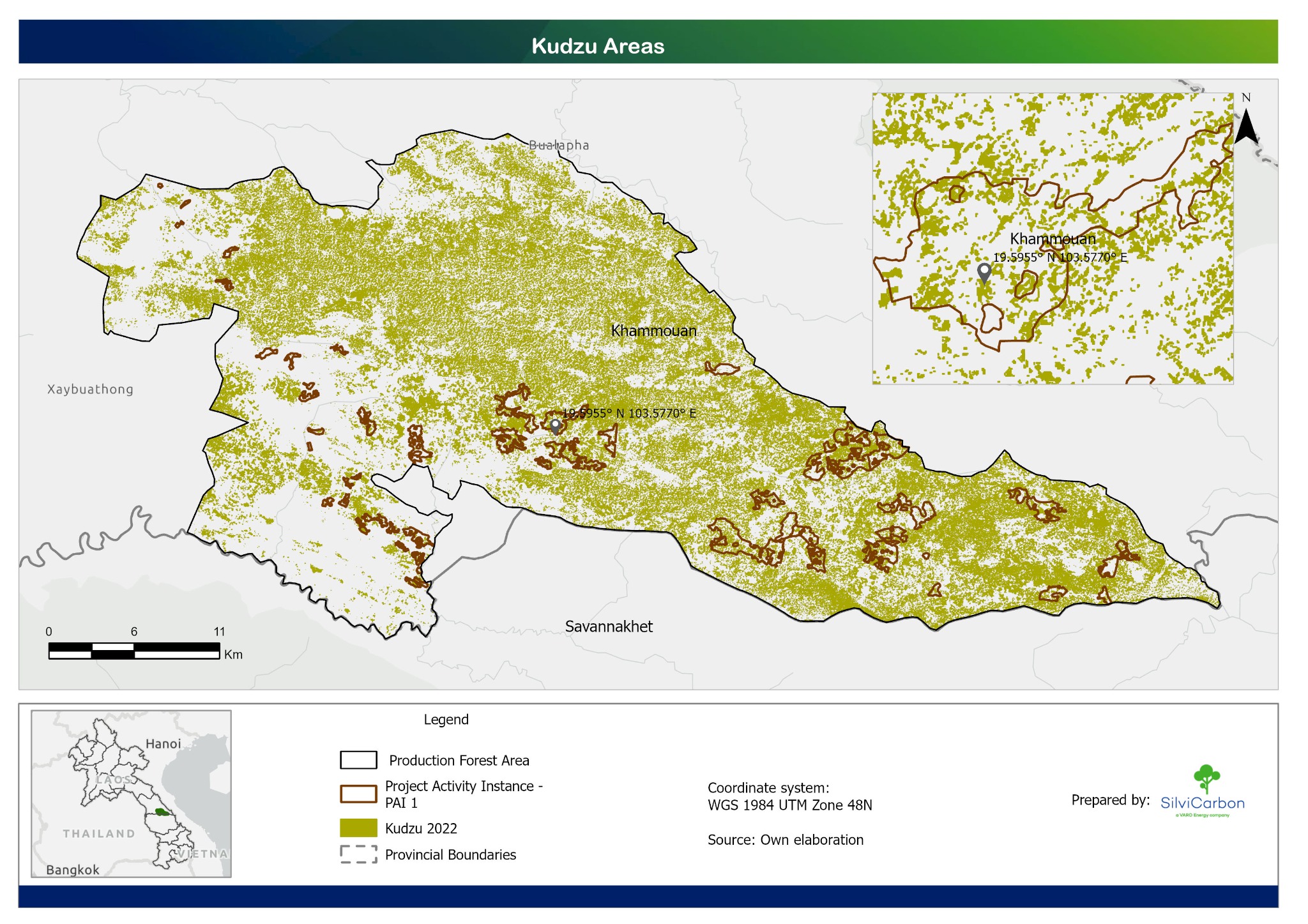
Kudzu areas across the pilot landscape
The final map brings the analysis layers together to show the modelled 2022 Kudzu distribution alongside the project activity area and production forest boundary in Khammouane, Lao PDR.
This pilot output supports field planning and further verification. Modelled presence should be interpreted together with reference imagery and field observations.
 View full-resolution map
 Scope & deliverables
Spatial evidence you can use and review.
Connect landscape-scale analysis with the field records and mapped outputs needed for practical project decisions.
Let’s talk
What could your landscape become?
Tell us where your project is, what you want to achieve and where you need support.