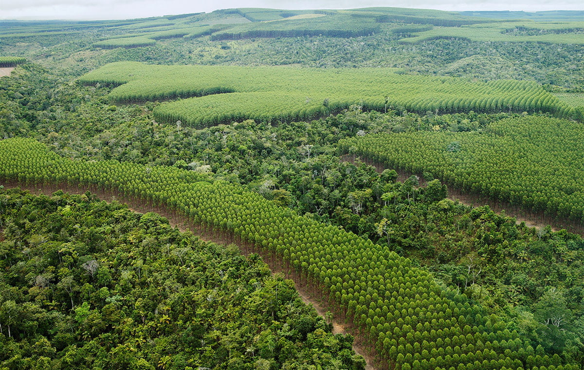
Feasibility & scenario design
Assess land eligibility, risks and carbon potential. Compare project scenarios before committing to a development pathway.
A clearer investment decision
Carbon & project development
Combine GIS, carbon-methodology expertise and hands-on forestry to assess and develop afforestation, reforestation and revegetation projects under Verra’s VM0047.
Discuss your projectSpecialist expertise
VM0047 expertise that connects the landscape, the numbers and the route to certification.
Verra’s methodology quantifies carbon removals from afforestation, reforestation and revegetation (ARR). We assess whether it fits your land and activities, alongside options under Gold Standard and other relevant programmes.
How SilviCarbon helps
Assess land eligibility, risks and carbon potential. Compare project scenarios before committing to a development pathway.
A clearer investment decisionTranslate complex requirements into decisions about the applicable approach, baseline, additionality and safeguards.
A practical route through the requirementsConnect GIS, forest inventories, performance benchmarks, leakage assessment and monitoring plans in a traceable evidence base.
Evidence that can withstand scrutinySupport engagement with independent validation/verification bodies and Verra, preparing submissions and responding to technical questions.
Support through independent assessmentSelect a topic for a closer look.
Define eligible land, understand the baseline and compare scenarios.
Estimate carbon benefits and address additionality, safeguards and project risks.
Plan field measurements, spatial monitoring and traceable reporting.
Support validation and verification, including responses to assessment findings.
Monitoring and independent assessment continue through the project lifecycle. Certification, credit issuance and any labels depend on meeting the applicable requirements; higher prices are not guaranteed.
Let’s explore your landscape, available data and next steps.
Scope & deliverables
Our modular support connects project design, spatial analysis, field evidence and the documents an independent assessor needs.
Let’s talk
Tell us where your project is, what you want to achieve and where you need support.