 National Park Service
Plan the evidence
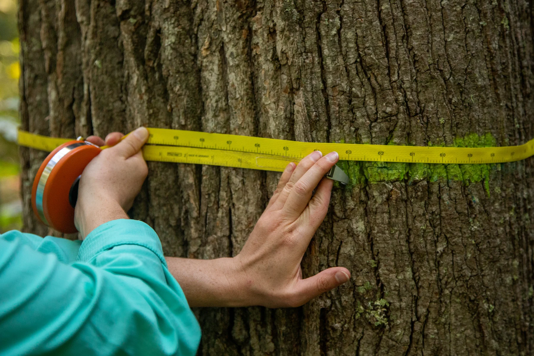
Translate the selected methodology into a practical plan for field measurements, spatial datasets, monitoring responsibilities and reporting.

Geospatial intelligence
Bring forest inventories, satellite observations and documented assumptions together to support carbon estimates, monitoring and independent assessment.
Discuss your projectHow we help
Translate the selected methodology into a practical plan for field measurements, spatial datasets, monitoring responsibilities and reporting.
Review forest inventories, biomass models and spatial observations. Identify inconsistencies, missing information and uncertainties before they flow into carbon estimates.
Organise datasets, assumptions and supporting records into a traceable evidence base. Support technical responses through validation and verification.
A monitoring plan, quality-reviewed datasets and organised supporting documentation, with estimates distinguished from independently verified results.
Scope and deliverables are agreed for each project. Certification and credit issuance depend on applicable requirements and independent assessment.
Scope & deliverables
A monitoring system needs to explain both how the landscape changes and how project commitments are being delivered.
Let’s talk
Tell us where your project is, what you want to achieve and where you need support.